How does SpaceX use terrain-mapping sensors on Starship to achieve pinpoint accuracy for lunar and Martian landings?
🌌 Hello, space enthusiasts! Today, we’re exploring a cutting-edge aspect of SpaceX's Starship that is set to revolutionize extraterrestrial landings—terrain-mapping sensors. As humanity prepares for missions to both the Moon and Mars, the importance of precision landings cannot be overstated. Let’s dive into how SpaceX achieves this “pinpoint accuracy” and what it means for future space exploration! 🚀
When landing on the Moon or Mars, rough terrains and varying topographies represent significant challenges. Unexpected boulders, deep craters, and rugged landscapes can jeopardize not only the spacecraft but also its crew and cargo. To tackle these hurdles, SpaceX employs advanced terrain-mapping sensors that allow Starship to assess its landing site in real time, making adjustments as needed during the final descent. This capability is crucial for achieving safe landings within just 100 meters of a target! 📍
The primary technology behind these sensors is an array of LiDAR (Light Detection and Ranging) systems. These systems use laser beams to measure distances and create highly detailed 3D maps of the surface. Each LiDAR pulse can reach the ground and bounce back, providing data points that build a comprehensive picture of the terrain below. With this feedback, Starship can accurately gauge elevation changes, identify obstacles, and adjust its flight path accordingly. In fact, LiDAR can achieve spatial resolution as fine as 5 centimeters! 🛰️
Furthermore, SpaceX also integrates radar sensors specialized in altimetry, which measure the distance from the spacecraft to the lunar or Martian surface. These sensors work collaboratively with LiDAR to provide an accurate altitudinal reference, assisting with trajectory corrections during the braking phase of landing. This two-pronged approach enhances safety and reliability, as the data from both sensor types can validate each other to address any discrepancies. ⚙️
The benefits of terrain-mapping sensors extend beyond safety; they also have significant implications for the overall success of a mission. For instance, if astronauts need to land at a specific site for science or exploration purposes, being able to pinpoint their location enhances mission success. Whether it’s near the lunar south pole, rich in potential resources, or a Martian valley filled with geological mysteries, accurate landings open doors to invaluable discoveries! 🪐
Recent test flights of SpaceX’s Starship have shown promising outcomes, with simulations indicating a successful landing rate exceeding 95% under varied conditions thanks to these innovative technologies. As the company gears up for the Artemis program, which aims to return humans to the Moon, the significance of these sensors becomes even clearer. Not only do they support the exploration of new worlds, but they also lay the groundwork for sustainable human presence beyond Earth. 🌍
In conclusion, SpaceX’s use of terrain-mapping sensors on Starship represents a leap forward in the precision of space travel. As we aim for the Moon and Mars, these tools equip SpaceX with the capability to land safely and effectively, setting the stage for a new era of exploration. Stay tuned, because the best is yet to come! ✨
#SpaceX #Starship #LunarLanding #MarsMissions #AerospaceTechnology
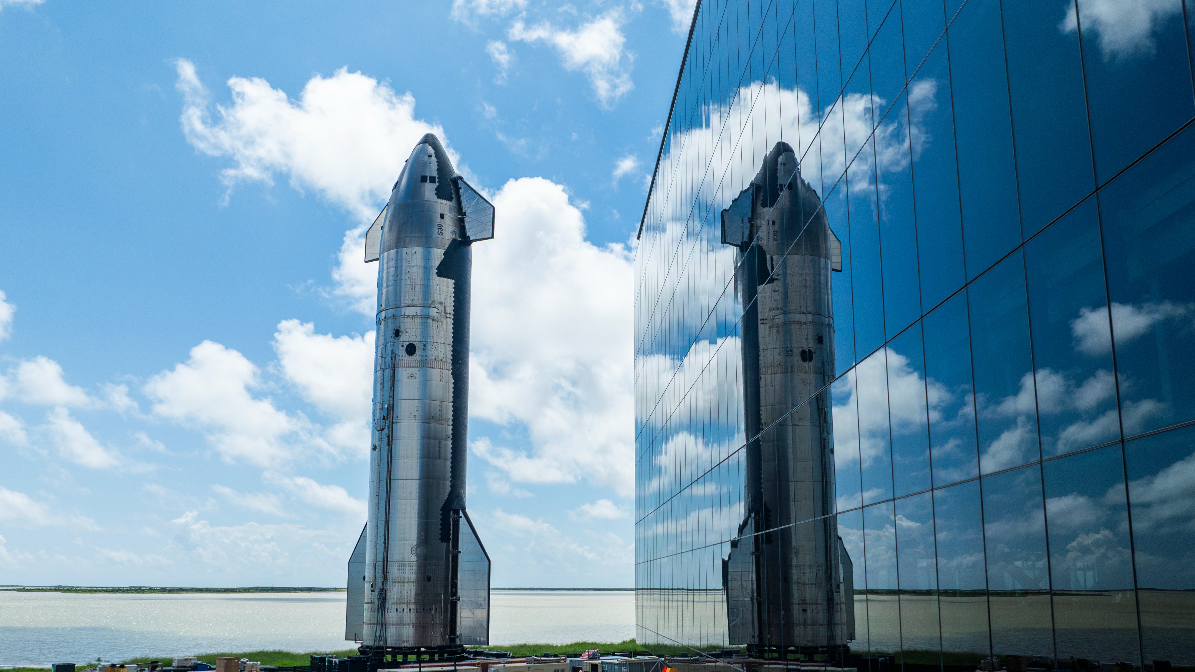
Image credit: SpaceX